Christ the Redeemer map | Your complete guide to train & van routes

Reaching Christ the Redeemer isn’t as simple as pointing yourself uphill. The journey is a puzzle of winding roads, steep inclines, and ticketed transfers. That’s where this Christ the Redeemer map comes in. Designed for both the scenic train ride through Tijuca Forest and the official van transfers from key Rio pick-up points, this map lays out every step so you can spend less time guessing and more time gazing at that world-famous outstretched embrace.

Where is Christ the Redeemer located?

Christ the Redeemer (Cristo Redentor) stands at the summit of Corcovado Mountain, inside the lush Tijuca National Park, overlooking the city of Rio de Janeiro, Brazil.

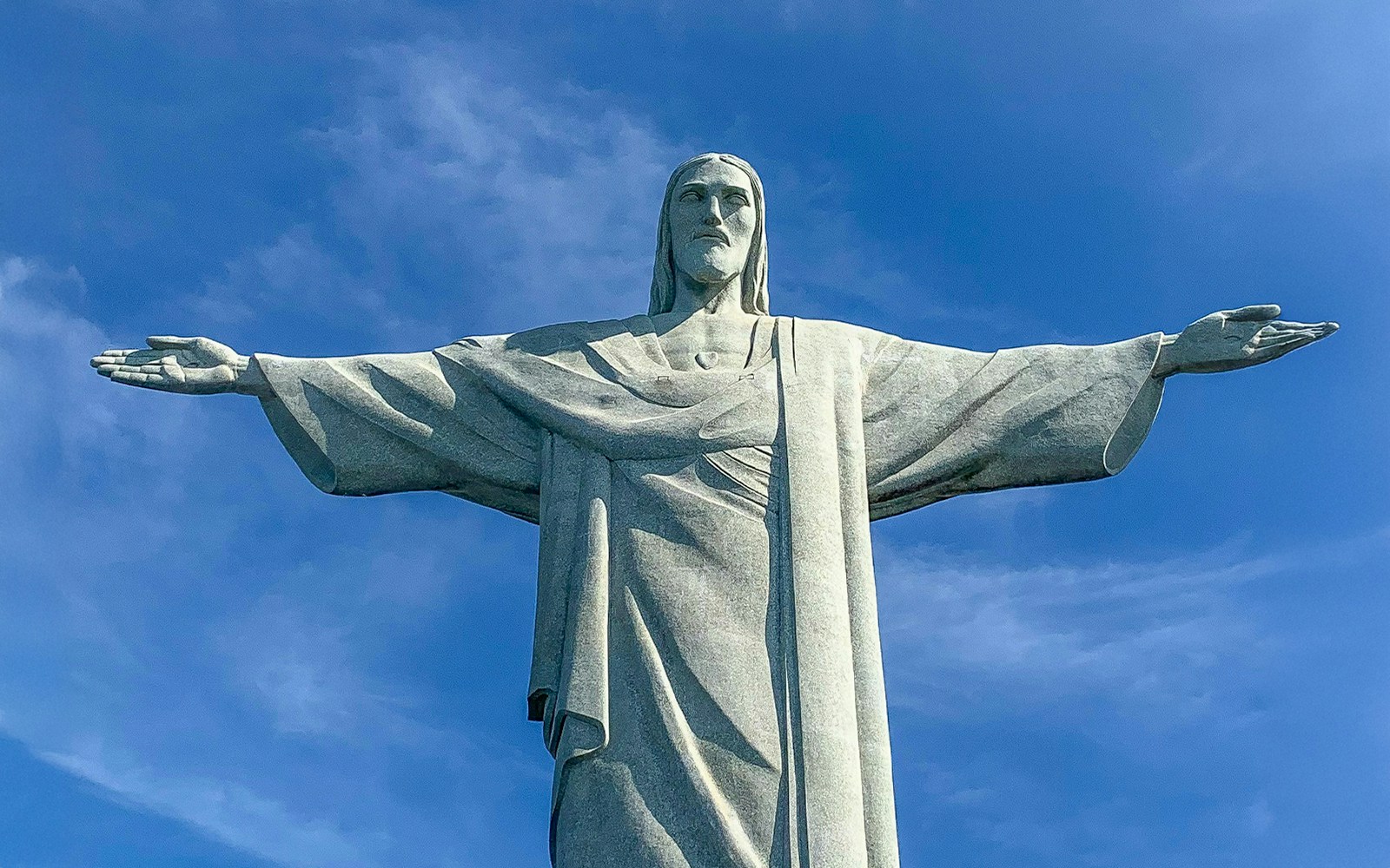
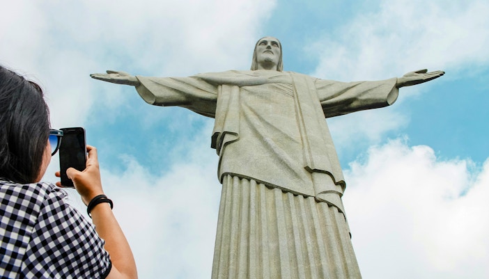
Christ the Redeemer main access point (train & van routes): Parque Nacional da Tijuca, Alto da Boa Vista, Rio de Janeiro – RJ, Brazil | Find on Maps

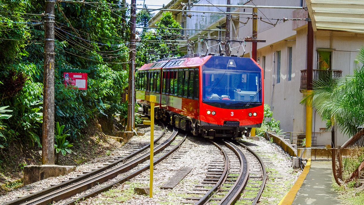
Corcovado Train Station (Trem do Corcovado): Rua Cosme Velho, 513 – Cosme Velho, Rio de Janeiro – RJ, 22241‑125, Brazil | Find on Maps

Official van departure (Copacabana): Praça do Lido, Av. Atlântica – Copacabana, Rio de Janeiro – RJ, Brazil | Find on Maps

Official van departure (Largo do Machado): Praça do Largo do Machado – Catete, Rio de Janeiro – RJ, Brazil | Find on Maps

Christ the Redeemer map

Your shortcut to the summit! This map charts the train’s scenic climb through Tijuca Forest and the van routes from Rio’s key pick‑up points, so you can reach Cristo Redentor without the guesswork.

Christ the Redeemer map showing routes from Cosme Velho, Copacabana, and Ipanema in Rio de Janeiro.

Download the map here and use it offline.

Navigating your way around Christ the Redeemer

While the statue itself is the star, getting there and moving around once you arrive takes a bit of planning. Here’s how to make the most of your visit using the Christ the Redeemer map:

  • Choose your ride: Take the scenic Corcovado train from Cosme Velho for a photo‑friendly climb through Tijuca Forest, or opt for the official van service from Copacabana, Largo do Machado, or Paineiras for a slower trip.
  • From drop‑off to statue: Both train and van routes end at the upper station. From here, escalators, elevators, and stairs lead you to the base of Cristo Redentor.
  • Best viewing order: Start at the main terrace for the iconic front‑facing shot, then circle around to catch panoramic views of Sugarloaf Mountain, Guanabara Bay, and the city’s beaches.
  • Break spots & facilities: Benches are dotted along the terraces, and a small café offers drinks and snacks. Restrooms are available. 

Visitor facilities

  • Parking: There is no parking at the summit. Visitors driving can park near official van departure points (Copacabana, Largo do Machado, Paineiras) or at the Corcovado Train station in Cosme Velho.
  • Information desk: Located at Paineiras Visitor Centre and Corcovado Train station, offering the Christ the Redeemer map, ticketing help, and lost‑and‑found services.
  • Wheelchair/stroller access: Elevators and escalators connect the arrival station to the terraces. Wheelchair users can access all viewing platforms; strollers are permitted, but space can be tight during peak hours.
  • First‑aid: Staffed first‑aid points are available at Paineiras Visitor Centre and the upper station for any medical needs.
  • Water refilling stations & restrooms: Drinking fountains and restrooms are available at Paineiras and near the café at the summit.
  • Dining outlets: A small café at the summit offers drinks and light snacks; Paineiras Visitor Centre has a larger food court with multiple options.

Frequently asked questions about the Christ the Redeemer map

Why do I need a map to visit Christ the Redeemer?

Getting there involves transfers, timed tickets, and multiple access points. The map helps you plan your route, avoid confusion, and make the most of your time at the summit.

Does the map show both train and van routes?

Yes, it highlights the Corcovado Train line from Cosme Velho and the official van routes from Copacabana, Largo do Machado, and Paineiras Visitor Centre.

Can I download the Christ the Redeemer map before my trip?

Yes, you can download the map from here and use it before your trip.

Does the Cristo Redentor map show travel times?

Yes, average journey times are indicated for each route so you can plan your visit and avoid peak congestion.

Is the Christ the Redeemer map useful for first‑time visitors?

Absolutely, as it removes the guesswork by showing exactly where to start, how to transfer, and where you’ll end up.

christ the redeemer tickets
Scan code
Download the Headout app

Get Help 24/7

We Accept
VISA
MASTERCARD
AMEX
PAYPAL
MAESTROCARD
APPLEPAY
GPAY
DISCOVER
DINERS
IDEAL
FPX
Headout is an authorized and trusted partner of the venue, offering curated experiences to enjoy this attraction. This is not the venue's website.